Explore Carson City’s Best Hiking Trails
Northern Nevada’s long winter is finally over, and with the absence of snow and mud, it’s the best time of year to explore the intricate web of hiking trails close to Carson City and Washoe Valley. Hiking can be a great way to stay active while exploring the breathtaking scenery of the Sierra Nevada — from sandy red desert trails to treks through lush meadows and towering mountains. And with so many trails of varying terrain and difficulty so close to home, enthusiasts will always have somewhere new to explore.
With over 68 miles of trails and six unique trail systems, let’s take a look at some of the best nearby trails for hikers of all levels of expertise, as well as what to expect when you get there:
Bently Heritage Trail
This scenic, 5-mile stretch of trails at Kirman Fields is perfect for nature lovers. In 2005, The Nature Conservancy and the Nevada Department of Wildlife got funding and approval to preserve the incredible floodplain lands surrounding the four miles of Carson River, supporting native plant and animal species in their native wetland habitat. Bently heritage trails exist near active cattle ranges to show that conservation and ranching coexist.
Fay Luther/Jobs Peak Ranch Trail System
This 8.8-mile system offers a family-friendly way to choose your adventure for a day. Enjoy a mix of hiking loops and linear trails, including an interpretive loop with signage about the geological and ecological history of Washoe Valley. Dogs must be leashed everywhere else from November 15 through March 30 to reduce stress on deer during the winter season.
The trails are relatively gentle but have limited shade in the first 1.5 miles. The rest of the trail system is mostly an open Jeffrey pine forest with lovely views of the Carson Range, Pine Nut Range, and Carson Valley.
Clear Creek Trail
The Clear Creek Trail is about 22 miles long, crossing desert ranges and some mountainous altitudes. Traversing a mix of US Forest Service Land, private property, Douglas County trail easements, and a Nature Conservancy Conservation easement, this trail is perfect for hikers looking for more of a challenge. The path is generally considered easy to moderate at around 5% grade along most of its length, ranging in elevation between 4,800 feet at the James Lee Park Trailhead to 7,270 feet about a mile before reaching Spooner Summit. Hikers should watch for mountain bikers and horses and make themselves easily visible to both.
Genoa Vista Trail
Just because you’re hiking doesn’t mean you need to rough it! The Genoa Vista trail is an easy 1.3-mile paved path connecting David Walley Resort to the small historic town of Genoa. Open to hikers, dog walkers, and cyclists, it’s the perfect way to enjoy David Walley’s world-class hot springs and then pop into town for a bite or some shopping.
Pinyon Trail
Funded and built by the Carson Valley Trails Association in partnership with the Bureau of Land Management and Douglas County, Pinyon Trail is a quick and fun opportunity to get your heart rate up and get into nature. Pinyon trail wraps around a large hill for 5.2 miles roundtrip, with endless views of the Pine Nut and Carson Range. Located about seven miles east of Gardnerville, this trail is open to hikers, dog walkers, and equestrians for a roundtrip hike in the countryside.
River Fork Ranch
One mile east of Genoa, at the confluence of the East and West Fork of the Carson River, is the River Fork Ranch trail system. There are two trails at River Fork Ranch, the 0.75-mile East Brockliss Loop, and the 2-mile West Fork Trail—meaning either is ideally suited for a relaxing hike in the scenic wetland habitat. Both trails are flat and wheelchair accessible and are often surrounded by native birds and wildlife. While this is a treat for nature lovers, protecting the environment and these delicate species means that dogs are prohibited on the trail.
Single Tree Access Trail
Sometimes it can be challenging to find the landmarks that designate where a trail starts. With this trail, you won’t have that problem. Serving as the access road to the Pine Nut Mountains east of Carson Valley, Single Tree is marked by a large parking area and—you guessed it—a single, large tree. While heavily used as an access point for mountain biking and ATVs, hiking, dog walking, and equestrianism are all encouraged here, as there’s plenty of space to share.
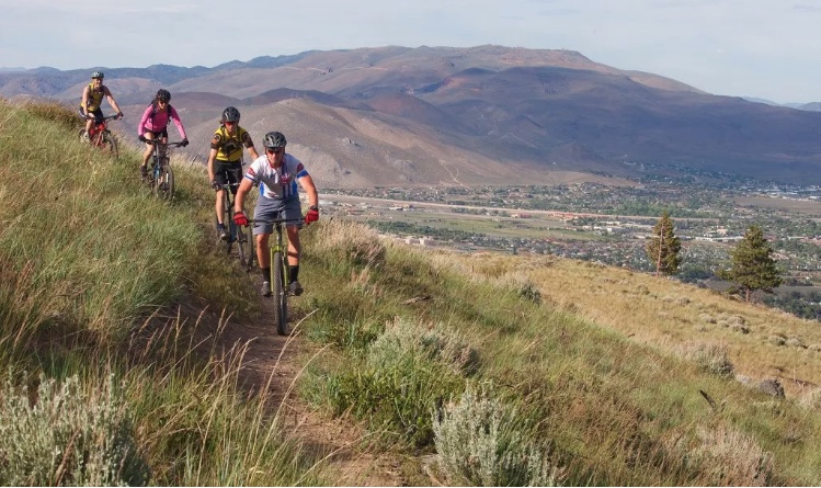
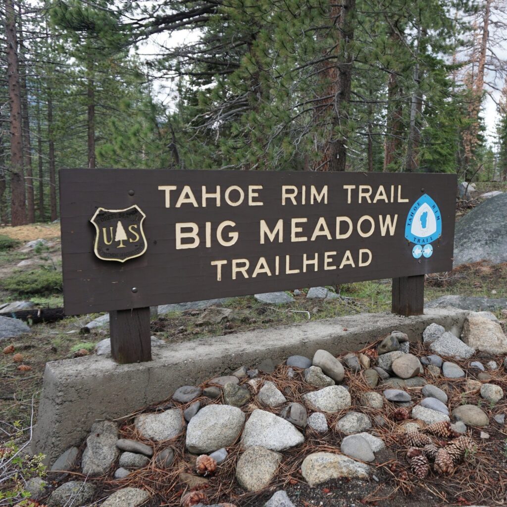
Tahoe Rim Trail
An ongoing project spanning years and public and private property, the Tahoe Rim Trail is a unique experience for hiking fans and outdoor enthusiasts. Traversing the 165-mile rim of Lake Tahoe, this massive expanse of trail can be accessed from multiple points around the area, with the Carson Valley section accessible from Kingsbury Grade and Spooner Summit. It offers spectacular, near-constant views of Carson Valley, with challenging technical terrain for hikers and mountain bikers alike.
If you’re into a more extended adventure, check out the options for guided tours, backpacking, and hiking on various sections of the trail at tahoerimtrail.org
Washoe Valley and Carson City are blessed with easy access to miles of beautiful and well-kept hiking trails, with options for every skill level and terrain preference. Getting outside and exploring the wide-open ranges, shady forests, and cool streams of Northern Nevada is an excellent way to stay active this summer while exploring the beautiful country around us. For more fun ideas of how to make the most of where we live, check out more articles on our blog or contact one of Dickson Realty’s resident neighborhood experts today!