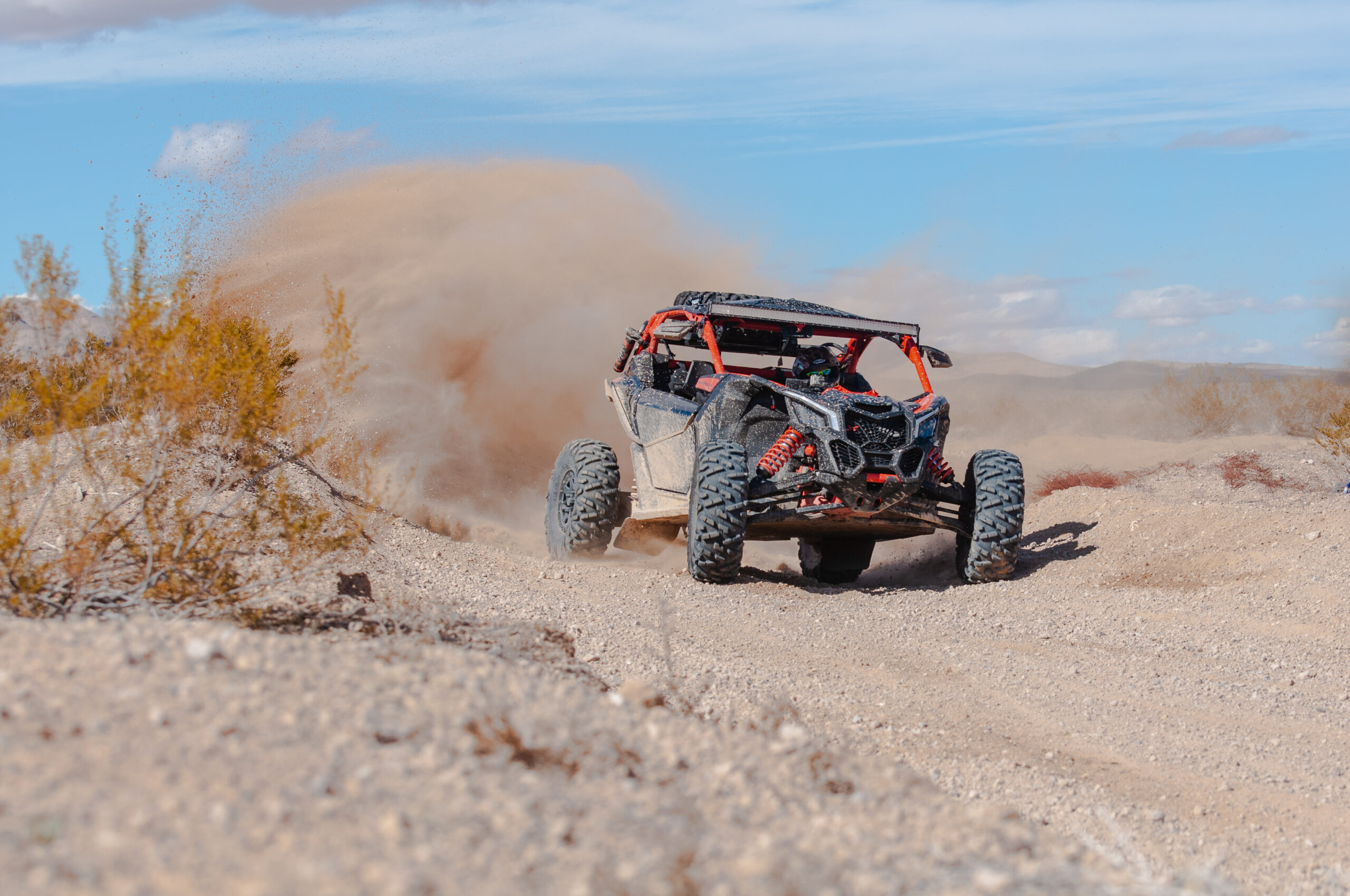
For many, the call of Carson Valley means the call to adventure, from the wide-open pastures to the blue mountains beyond, rolling hills and hiking trails, and everything in between! There are a number of ways to experience the great outdoors in the Carson Valley, but one of the most exciting is through off-roading.
Whether you’re bringing a dirt bike, an ATV, or a pick-up truck, there are a number of trails friendly to motor vehicles throughout the valley.
The Pine Nuts
The Pine Nut Mountains are an extensive range frequented by hikers, horseback riders, ATVers, and nature enthusiasts alike.
The range spans from the Dayton area all the way through the Walker River and is carved with many roads and trails ranging from single-track to trails over 50 feet wide.
The range has trails for beginners through the most advanced outdoorsmen, and trails are primarily hard-packed or sand, with rocky hills for experienced climbers or rock crawlers.
Throughout the Pine Nuts, you’ll find brush-covered foothills, Piñon forests, and all manner of wildlife, from wild mustang groups to black bears, deer herds, and more.
In Douglas County, you can access trails either from the trailhead at the eastern end of Johnson Lane off Highway 395, or off of Pinenut Road. There are two trailheads from Pinenut, both of which are accessed by turning east onto Muller Parkway from Highway 395 south, then taking a right onto Pinenut Road. Both Trailheads are approximately 2.5 miles east from there.
In Carson City, you can access the Pine Nuts by starting on Carson River Road and heading East. After crossing the Carson River, make a sharp right onto Sierra Vista Lane, heading south. The trailhead is approximately one mile from the turn on the right-hand side.
Tahoe Foothills and Peak Trails
The Kingsbury Stinger and Genoa Peak trails are popular for off-roaders, starting in the Carson Valley to the peak of the Sierra, offering stunning views of Lake Tahoe as well as the valley floor.
Most trails in this area can be easily accessed by mountain bikers, hikers, and off-roading vehicles, such as ATVs and dirt bikes, but may be challenging for cars and trucks depending on the trail.
The Kingsbury Stinger trail used to be a motorized vehicle trail, but now is relegated to mountain bikers and hikers. To access the trail, head to Terrace View Drive, a neighborhood off of Kingsbury Grade. There is parking on the street near the trailhead.
The Genoa Peak trail system is just over nine miles in length and is a popular day trip adventure for all kinds of off-roaders. The peak sits at 9,150 feet, and has views of South Lake Tahoe, the west shore, Homewood, and even as far as Kings Beach. The trailhead can be accessed from Genoa Park Road, and if you continue heading north, the trails continue into the South Camp Peak Trail system consisting of old fire service roads. Gates for the trail system are typically open from May through November, depending on the weather.
Prison Hill Recreation Area
While not technically within the Carson Valley, the Prison Hill area is popular with off-road enthusiasts across the region, especially rock crawling and off-road clubs.
The Prison Hill Recreation Area is in southeast Carson City and is easily accessible to residents and visitors of the Carson Valley. The area is mixed-use and is open to all off-roaders, from UTVs and ATVs, to rock crawlers, dirt bikers, trucks, and more.
The area contains hard-pack trails as well as sand training areas, and advanced trails for the more extreme off-road enthusiasts.
All trails within the area are two-way, and caution should be taken while recreating.
There are a number of posted trail signs and routes, making it easy to navigate for beginners and advanced off-roaders alike.
Difficulty is marked similarly to ski trails, with a green circle indicating an easy trail and a double black diamond being the most extreme. Numbered trails indicate difficulty as well, with 1 being the easiest and 4 being the most extreme. Trails are also marked with an S (single-track for dirt bikes), a D (double-track for high clearance 4×4 vehicles), or a W (Wheeler or rock-crawler).
You can access the area from South Carson Street by following Snyder Avenue east for 2.5 miles. Turn right onto Gentry Way and continue 0.9 miles to the staging area. Follow signage to the main trailhead.
Safety First
As a reminder, motor vehicles, including off-roading vehicles, are permitted only on designated trails throughout Nevada BLM lands, and those trekking out should always be prepared; winter storms can cause washouts of trails and, in certain years, can even keep snow in the higher elevations well into the summer!
Travel with warm clothing, first aid, food, water, and tools, and be sure to leave word with someone about where you are headed and when you should be expected back.


